
Photo: A. GallagherPost-Fire Technical Resources for SageCon Partners
Fires in the sagebrush steppe
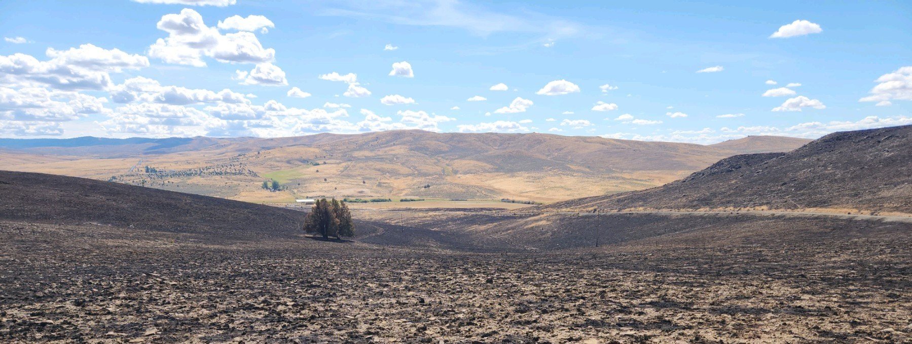
Fires are a natural part of the sagebrush ecosystem and drive structural diversity across the high desert. However, in recent decades, larger and more frequent fires have occurred in southeastern Oregon, including many “mega-fires” of over 100,000 acres. Ranching and other resource-dependent livelihoods are intimately intertwined with functioning rangelands. Increasingly large, frequent fires and altered fire regimes therefore do not just impact plants and animals; they affect rural economies and community wellbeing.
2024 has been a very active fire season in eastern Oregon. More than 1.8 million acres have burned as of September across sagebrush, grassland and woodland vegetation types on the east side of the state. In addition to the impacts on communities, livestock producers and landowners throughout the region, fire also affects wildlife habitat. Nearly 507,000 acres of core sage-grouse habitat were burned this year in Crook, Lake, Harney, Malheur and Baker counties.

A practical synthesis of post-fire restoration science
The Eastern Oregon Agricultural Research Center is a thought leader in ecology and management of sagebrush rangelands, based in Burns, Oregon. Led by Chad Boyd, Research Leader, the scientists and staff of the EOARC have synthesized the state of science on post-fire restoration in a concise and useful summary. It includes practical, science-based information on topics ranging from determining your seed mix to spatial planning to tips for successful implementation, and we guarantee you will find something useful in this synthesis!
Spatial tools for post-fire rehabilitation
Advances in spatial data for restoration planning across large, multi-jurisdictional landscapes have exploded in recent years, resulting in a large number of spatial datasets to aid in proactive pre-fire planning and post-fire restoration. The SageCon Landscape Planning Tool provides a curated collection of datasets to support landscape-scale planning, including information on vegetation condition, likelihood of post-fire annual grass invasion, biophysical characteristics of the landscape, burn perimeters, and more. In addition to the map layers available through the Landscape Planning Tool, burn severity maps for the larger fires in Oregon are available through the Burned Area Emergency Response website.
Threat-Based Strategic Conservation to inform post-fire planning
Our partners at the Eastern Oregon Agricultural Research Center shared a framework for using many of these datasets through the lens of Threat-Based Strategic Conservation to make management decisions and focus limited resources across burned rangelands.
See the webinar recording and presentation materials:
Presentation slides from the webinar
Ecostate map visuals showing examples of each ecostate in the field
A guidance document explaining the categories of anchor, maintain, improve, contain, and monitor, and the management actions that may be chosen based on pre- and post-fire conditions
A real-world example of a TBSC-informed post-fire strategy map and prioritized management actions

Other fire resources
If you would like more information about fire in the sagebrush, please take a look at the resource list below.
The Great Basin Fire Science Exchange connects land managers and scientists to improve pre- and post-fire management decisions by providing information and access to technical expertise.
OSU extension published a webpage on wildfire resources for producers affected by the 2024 fires.
The WatchDuty app provides up-to-date information about active fires, including information about new fire starts, burn perimeters, fire status updates, air quality and more.

Photo Credit: A. Gallagher