
SageCon Technical Resources
The Rangeland Sustainability Program at the Institute for Natural Resources develops and compiles technical tools and resources.
Check out the latest featured tools and science!
We highlight new technical resource in our newsletter every quarter.

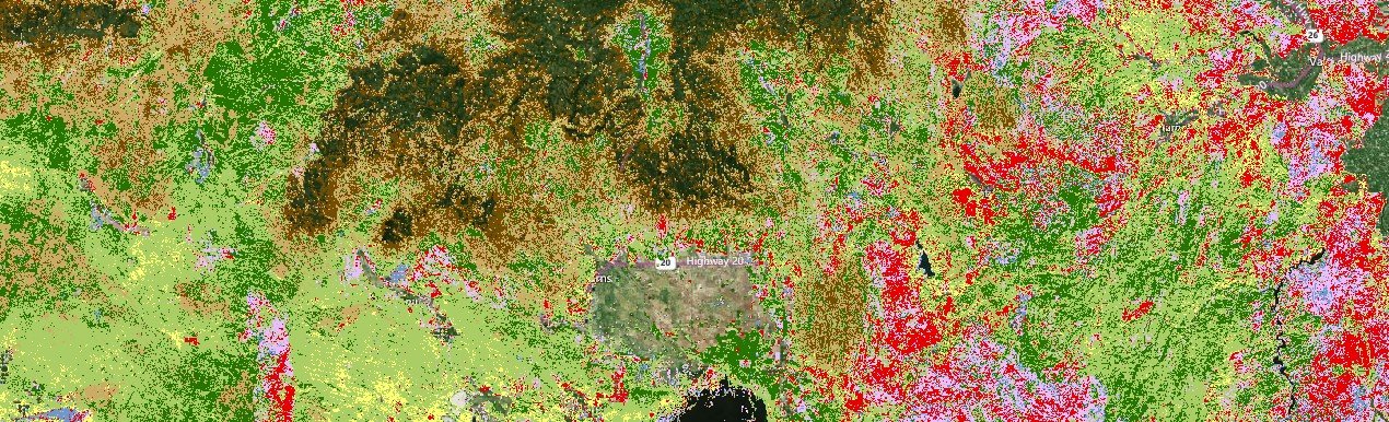
Vegetation Mapping

The SageCon Landscape Planning Tool, ecostate maps and more
Post-Fire Technical Resources
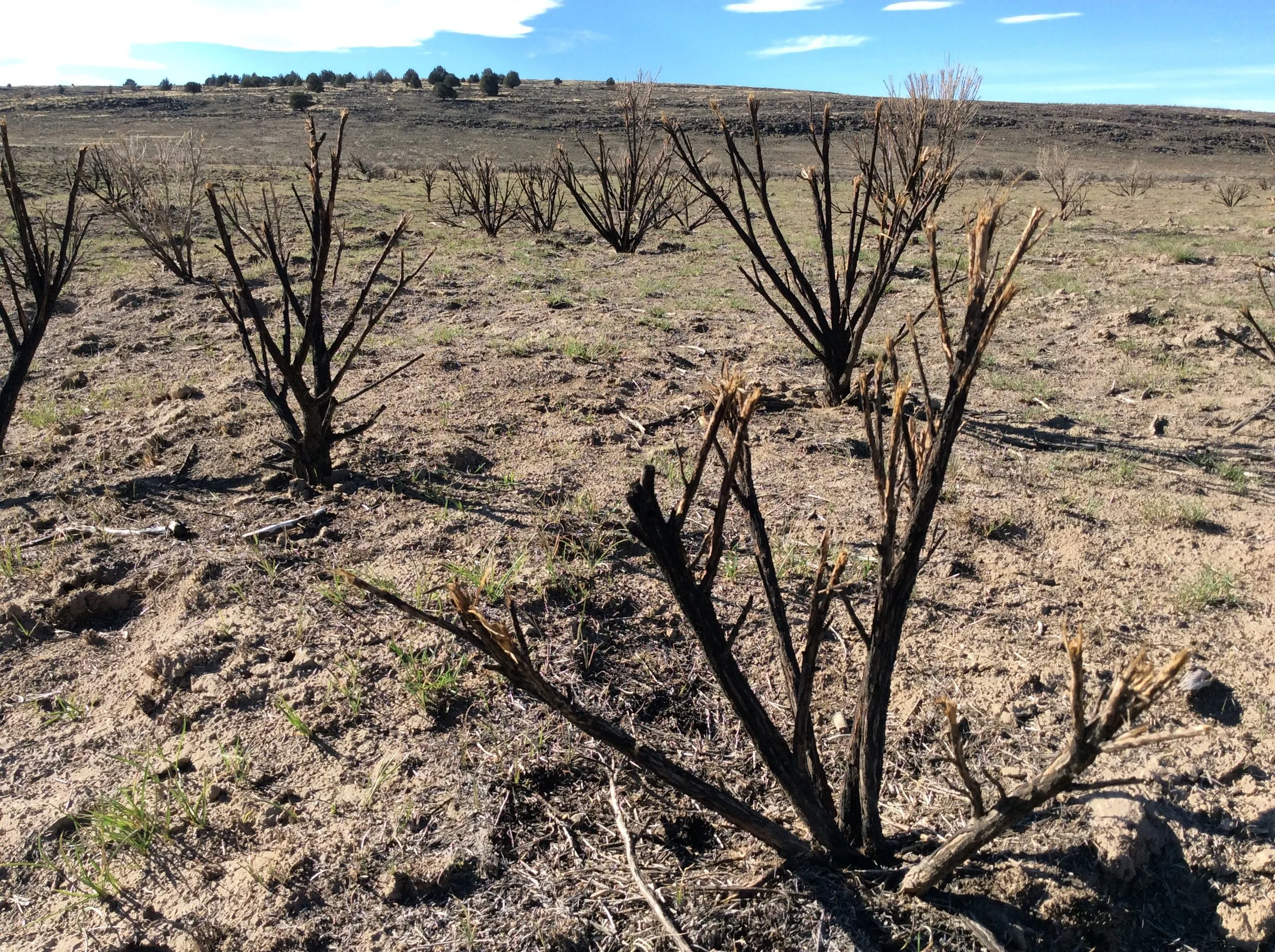
A curated set of technical resources to guide post-fire restoration efforts
Oregon Rangeland Monitoring Program

Gather information on restoration treatment outcomes across the state
Mesic Prioritization

A process for prioritizing areas of highest resilience for mesic restoration
Threat-Based Strategic Conservation

Develop a spatial strategy to defend and grow your core
Technical Trainings and Workshops

Keep up to date on upcoming events
SageCon technical transfer focuses on providing actionable information to guide management of sagebrush rangelands.
See our new paper Crossing the Chasm: Using technical transfer to bridge science production and management action to find out more about our approach, and stay tuned for an upcoming website on the Sagebrush Technical Transfer Network.